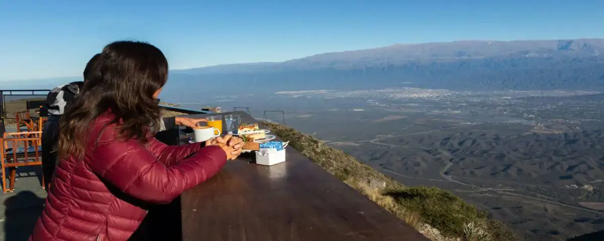
The Portezuelo Pass in Catamarca is the quintessential landscape icon of the province. It's the natural gateway to the Calchaquí Valleys from San Fernando del Valle. If you're planning a trip to Northwest Argentina (NOA), this mountain route offers one of the most breathtaking panoramic and cultural experiences in the region.
Key Information for Your Visit
- Distance: 18 km from San Fernando del Valle de Catamarca (30 minutes to the base).
- Main route: 17 km of paved ascent along Provincial Route 2.
- Altitude: From 500 meters above sea level at the base to 1,070 meters above sea level at the summit.
- Route: More than 300 winding curves with marked hairpin bends.
What is the Cuesta del Portezuelo and where is it located?
The Cuesta del Portezuelo is a winding cliffside road that crosses the Sierra de Ancasti through Provincial Route 2.
Built between 1933 and 1939 to connect the Old Valley with the eastern slopes of the mountains, it has become a masterpiece of road engineering and a must-see for visitors to the capital of Catamarca.
Altitude, location and distance from San Fernando del Valle
The Cuesta del Portezuelo Trail is a route that begins in the city of Catamarca. From the urban center of San Fernando del Valle de Catamarca to the base in Valle Viejo, it is 18 km long. The trail starts at an altitude of 500 meters above sea level and ends at the summit at 1,070 meters above sea level.
The Zamba of Margarita Palacios and her cultural legacy
This corner of Catamarca immortalized its beauty in traditional Argentine music thanks to the famous zamba "Paisaje de Catamarca", composed by the folk artist Margarita Palacios:
"From the Cuesta del Portezuelo, looking down it seems like a dream... A small town here, another small town there, a white road that crosses the green of the mollar."
This folkloric heritage accompanies the traveler at every viewpoint, lending mysticism and emotion to the landscape as one gains altitude.
What to see and do in the Cuesta del Portezuelo
The Hito 1 Lookout and the panoramic view of the Old Valley
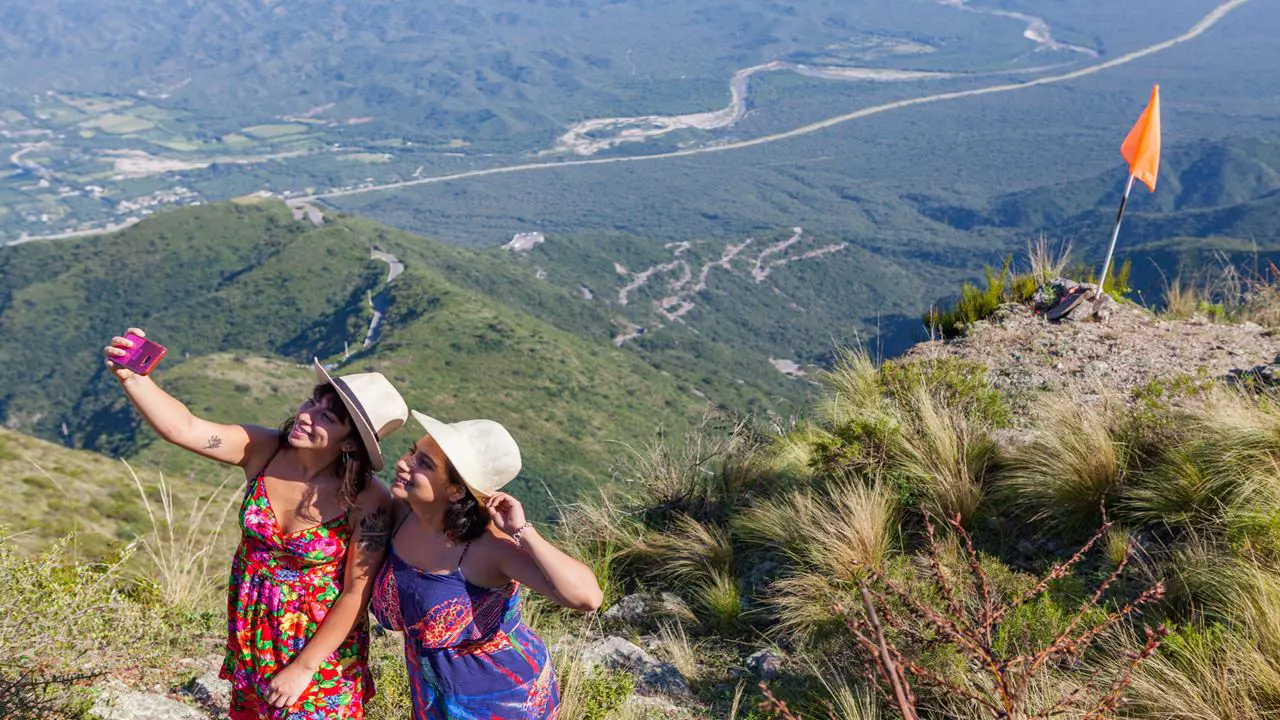
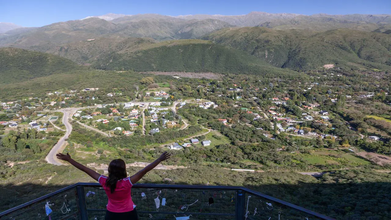
During the ascent, several natural viewpoints are located along the way. The most notable is Mirador Hito 1, situated at the top. It features a platform offering panoramic views of San Fernando del Valle, the town of El Rodeo in the distance, and the meandering Valle River. It's the perfect spot to watch the sunset over the mountains, bathed in golden and coppery hues.
Travel tip: Explore the winding and mountainous road with this tour to the Cuesta del Portezuelo viewpoint and Las Pirquitas dam .
Photo stops and condor sightings
Thanks to the thermal currents generated on the hillside walls, the peaks of the slope are an ideal spot for Andean condor sightings . Along the ascent, there are small ledges and natural widenings in the roadside designed for safely stopping and taking the best photos.
How to get to Cuesta del Portezuelo: Car, transport or guided tour?
Road conditions, curves and driving conditions (Is it dangerous?)
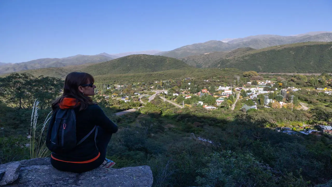
A common question is whether the Cuesta del Portezuelo is dangerous to drive on . While the section along Provincial Route 2 is paved and in generally good condition, you should keep the following in mind:
- Narrow road width that requires precise maneuvers when crossing vehicles in the opposite direction.
- Continuous blind curves at a tight angle (hairpin or spiral type).
- Recurring phenomenon of "cloud rain" or low fog that reduces visibility to less than 10 meters.
- Total absence of signal and mobile data in 70% of the section.
- Occasional presence of loose animals (goats and cattle) on the curves.
Advantages of booking a guided tour from San Fernando del Valle
Choose this excursion to the Portezuelo Pass and enjoy the scenery of Northwest Argentina. Avoid the stress of driving on unfamiliar roads; safe stops with local drivers and guides are guaranteed. All passengers will enjoy a 180° panoramic view with historical and natural context of the Ancasti mountain range.
Frequently Asked Questions about Cuesta del Portezuelo in Catamarca
How many curves does the Cuesta del Portezuelo have? It has more than 300 curves along its 17 km length. The density of turns is so high that there are hardly any straight sections longer than 100 meters.
When is the best time to hike Cuesta del Portezuelo? The best time to visit Cuesta del Portezuelo is during the autumn and spring months (April to June and September to November). During this period, the weather is stable, with clear days and a lower probability of the dense fog typical of summer.
How long does the entire journey take? The ascent takes approximately 45 to 60 minutes driving at a safe tourist speed. The complete experience, including photo stops and time at the main viewpoint, requires between 2.5 and 3 hours from the departure point in the capital.
What clothes to wear to the Portezuelo Slope? A light jacket or windbreaker, as the temperature at the upper viewpoint drops between 4°C and 7°C compared to the valley.
Book your excursion to the Cuesta del Portezuelo!
Discover this iconic landmark of Northwest Argentina in complete comfort, with local guides and guaranteed departures. Explore our tours and excursions in Catamarca . Secure your spot today and book your guided tour to the Cuesta del Portezuelo !
By: Hasbleidy Julieth Chacón | Travel Content Specialist & Creator for Catamarca.tours
Published by BestCatamarca.tours on 24/09/2026