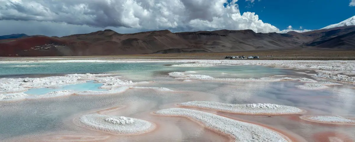
Planning a trip to the Puna region of Catamarca means venturing into one of the most stunning and isolated landscapes in South America. However, to reach this Andean oasis, you need to know about road conditions, fuel availability, and the altitude.
Learn how to get to Antofagasta de la Sierra from the main connecting points in the province of Catamarca. This includes information on paved routes, driving tips for high altitudes, and transportation options.
Where is Antofagasta located and what is the best route to get there?
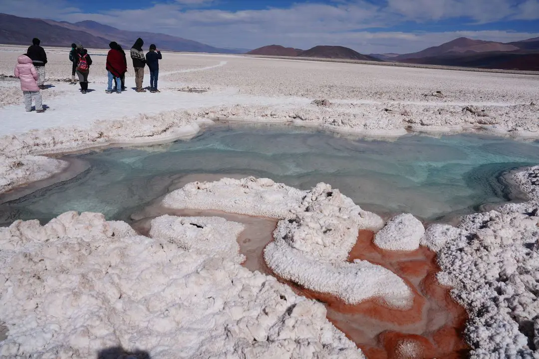
Antofagasta de la Sierra is located in the far northwest of the province of Catamarca, at over 3,300 meters above sea level. Surrounded by volcanoes, salt flats, and pumice fields, this town serves as the base for exploring natural wonders such as the Campo de Piedra Pómez (Pumice Stone Field), the Galán Volcano, and Laguna Grande (Big Lagoon).
What's the best route to get there? Distance and travel times
The best route to Antofagasta de la Sierra will depend on several factors, including your accommodation, the time you have available, and the type of transportation you prefer. The main starting points for your journey are:
- From Catamarca Capital: 580 km | Time ~8:30 hrs.
- From Bethlehem: 296 km | Time ~4:30 hrs.
- From Fiambalá: 504 km | Time ~7:00 hrs.
- From Tinogasta: 456 km | Time ~6:30 hrs.
Learn step by step how to get to Antofagasta de la Sierra from each of these key points:
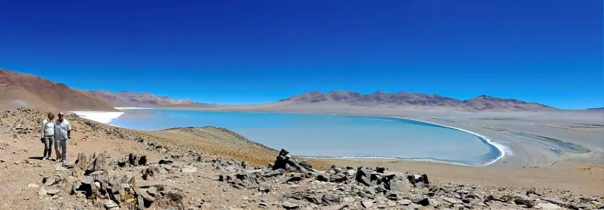
1. How to get to Antofagasta de la Sierra from Belén: The Main Route
Belén is considered the "Cradle of the Poncho" and the gateway to the Catamarca Puna region. It is the main point where supplies and major routes converge.
Antofagasta from Belén by private car:
- Leave from the city of Belén heading north on National Route 40 for 50 km to the town of Puerta de Corral Quemado.
- Take the left turn to connect with Provincial Route 43 .
- It advances through the towns of Barranca Larga and Villa Vil.
- The ascent begins along the Randolfo Slope (reaching 3,200 meters above sea level) and crosses the dune area.
- Continue straight along RP 43 passing through El Peñón until you reach Antofagasta de la Sierra.
Buses and public transport from the Belén Terminal
If you're looking for ways to get to the Puna region of Catamarca without a car , public transport options are limited in the area:
- El Antofagasteño Company: Provides intercity transport service connecting the Belén Terminal with Antofagasta de la Sierra. It operates with reduced departures (between 2 and 3 weekly frequencies).
- Recommendation: It is suggested to check schedules in person at the terminal or book in advance.
Condition of Provincial Route 43: Is it paved or does it require 4x4?
There's a myth that the entire route to the Puna is unpaved or mountainous. The reality is that Provincial Route 43 is paved along its main stretch, from the junction at Puerta de Corral Quemado / Villa Vil, through Cuesta de Randolfo and Villa El Peñón, until reaching the main town of Antofagasta de la Sierra.
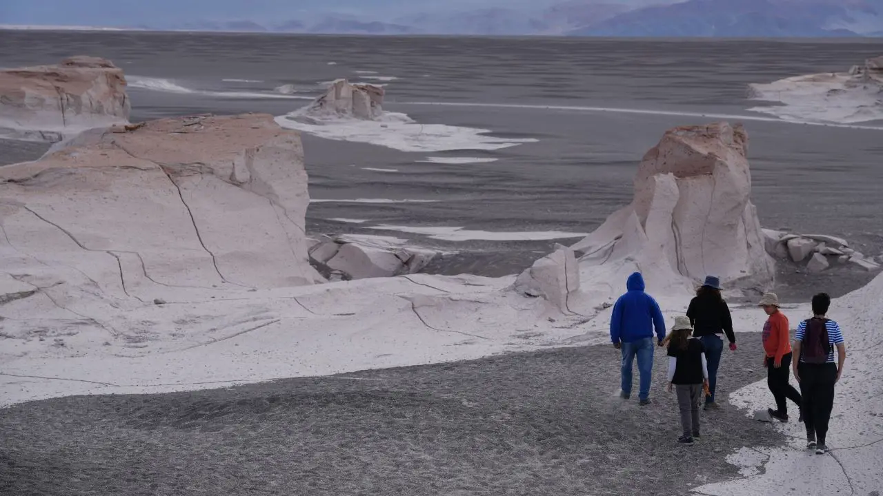
While Provincial Route 43 is paved and allows vehicle traffic under normal conditions, access to tourist attractions such as Campo de Piedra Pómez (Pumice Stone Field), Salar de Antofalla (Antofalla Salt Flat), and the Galán Volcano Crater is limited. These areas can only be reached via hard sand, Puna rocks, and dune fields. For these off-road excursions, 4x4 traction and the company of licensed local guides are mandatory.
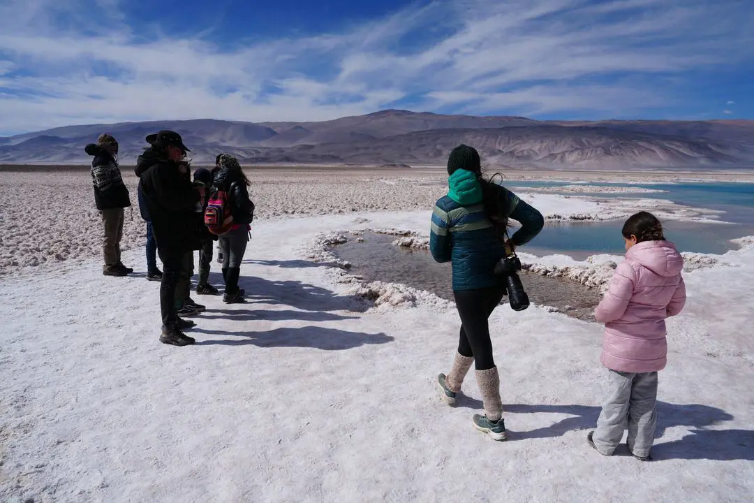
2. How to get to Antofagasta de la Sierra from Catamarca Capital (San Fernando del Valle)
Arrive by plane at Coronel Felipe Varela Airport (CTC) or by bus to the San Fernando del Valle de Catamarca Terminal. Then, prepare for a full day's journey to the Puna region.
From Antofagasta to Catamarca Capital by private car:
The route includes 580 km of paved road:
- From the capital, take National Route 38 south and then connect with National Route 60, crossing the Quebrada de La Ceba.
- Continue along RN 60 until the junction with RN 40 near Aimogasta/Alpasinche.
- Continue north on National Route 40 until you reach the city of Belén . This is an ideal spot to rest, have lunch, and refuel one last time.
- From Belén, follow the directions for the previous section along Provincial Route 43 to the final destination.
Option without a car: Guided tours and private transfers from the Airport (CTC)
Traveling nearly 600 km through high mountain terrain without your own vehicle can be challenging. The best option is to book tour packages with excursions in Catamarca City . These packages guarantee direct transportation from your hotel or the airport, accommodation, and vehicles equipped for accessing high-altitude attractions.
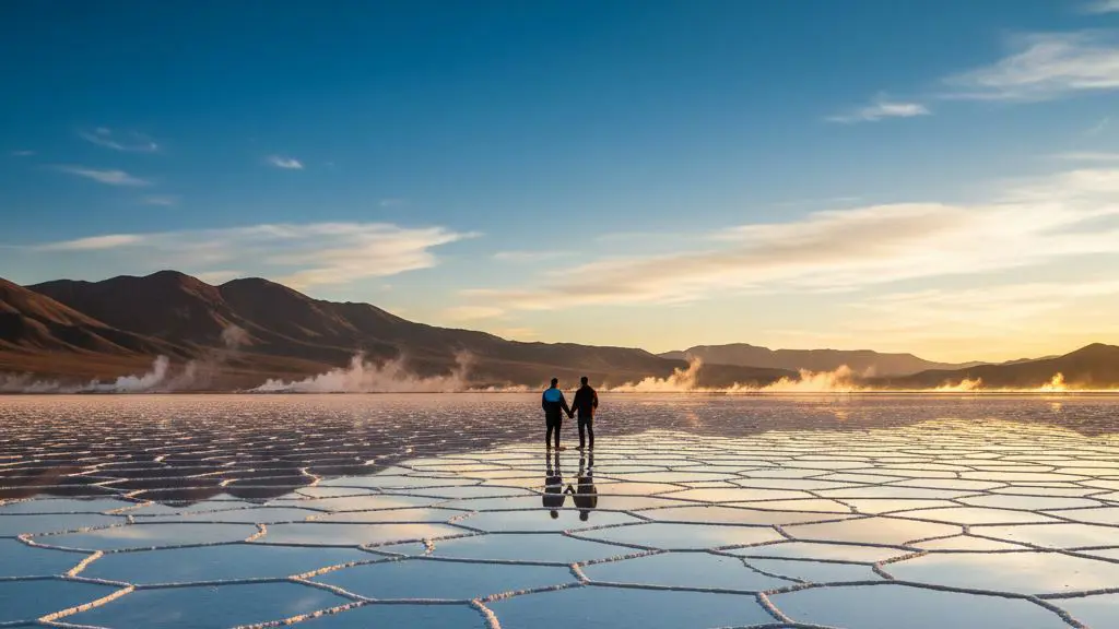
3. How to get to Antofagasta de la Sierra from Fiambalá and Tinogasta: Connection to the Adobe Route
Take advantage of your trip through the province and combine the Fiambalá hot springs and the vineyards of Tinogasta with the Puna plateau. It's one of the most popular itineraries in Northwest Argentina.
Fiambalá - Tinogasta - Belén - Antofagasta de la Sierra section
There is no direct paved route across the Andes Mountains from Fiambalá to Antofagasta. The safe, paved route requires descending to National Route 40.
- From Fiambalá, take RN 60 south passing through Tinogasta (48 km).
- Continue along RN 60 until you connect with RN 40 towards Belén.
- In Belén, the ascent section begins along RP 43, detailed previously, to Antofagasta.
- The total estimated time is between 6:30 and 7:30 hours of continuous travel.
Is it advisable to cross via secondary mountain roads?
Secondary trails connecting the Fiambalá area with the Puna region are often shown on digital maps and GPS apps. It is not advisable to take these trails without a guide or satellite equipment. They are unmaintained, prone to landslides, cross dry riverbeds with shifting sand, and lack any kind of roadside assistance or logistical support.
What to keep in mind if you are traveling by private car in the Puna
Fueling: Where are the last gas stations?
Vehicle range is the most important factor when traveling through the Puna region. Learn the detailed, point-by-point information on actual fuel availability along the route:
- Belén (Critical Point): YPF Station / Officials with 100% guaranteed supply. It is the last service station on the route with regular supply, they accept cards and offer premium fuels (Premium Gasoline and Grade 3 Diesel).
- Villa Vil: Local charging point with limited and non-guaranteed availability. It functions only as an occasional assistance point.
- El Peñón: Communal pump or private sale. Variable supply. Premium gasoline or Grade 3 diesel is not always available.
- Antofagasta de la Sierra: Community station / Local pump. Occasional availability. May experience temporary shortages due to delays in the arrival of tanker trucks from the capital.
💡Travel tip: Fill your tank to capacity in Belén, regardless of your fuel level when you arrive. If you plan to take excursions to the Galán or Antofalla volcanoes, consider bringing spare fuel containers with the necessary permits, a 4x4 vehicle, and a guide.
Altitude sickness and Randolfo Hill
The journey gradually ascends from 1,200 meters above sea level in Belén to over 3,200 meters above sea level at the Randolfo Pass and 3,400 meters above sea level in Antofagasta. Stay hydrated with bottled water, avoid heavy meals before the ascent, and consume coca tea or candies to help alleviate the effects of altitude sickness.
In the Randolfo area, it's common for the wind to blow sand onto the asphalt road. Drive with caution, reduce your speed, and keep your low beams on.
Can you visit by private car or is it mandatory to hire a 4x4 tour?
Many travelers ask if it's possible to get to Antofagasta de la Sierra in a regular car . The answer is yes for transportation , but not for tourism within the city .
- With a sedan/4x2 car: You can drive on RP 43, reach the town, stay overnight and visit points on the asphalt.
- For tours and excursions: Entering the Pumice Stone Field involves traveling kilometers across soft sand where a 4x2 vehicle will get stuck. To visit this site, you must hire or book a tour to the Pumice Stone Field from Fiambalá, operated in equipped 4x4 vehicles.
Frequently Asked Questions Route to Antofagasta de la Sierra
Is there cell phone signal on the road to Antofagasta de la Sierra?
No. After leaving Villa Vil, cell phone signal disappears on Provincial Route 43 until you reach El Peñón or Antofagasta de la Sierra. It is recommended to download offline maps beforehand ( Google Maps or Maps.me ).
What is the best time of year to travel by road to the Puna?
Spring and autumn (March to May and September to November) offer mild temperatures and less frequent strong winds. In winter, nighttime temperatures drop below freezing, and in summer (January-February) sporadic rainfall may occur in the valleys, affecting some sections of the route.
Plan your trip to the Catamarca Puna!
Avoid setbacks, secure your spot on guided tours with local drivers and 4x4 vehicles. Check out our tours and transfers in Catamarca and book your experience with maximum safety and comfort.
By: Hasbleidy Julieth Chacón | Travel Content Specialist & Creator for Catamarca.tours
Published by BestCatamarca.tours on 30/09/2026